


1
2
3
4
5
6
7
8
9
10
11
12
13
14
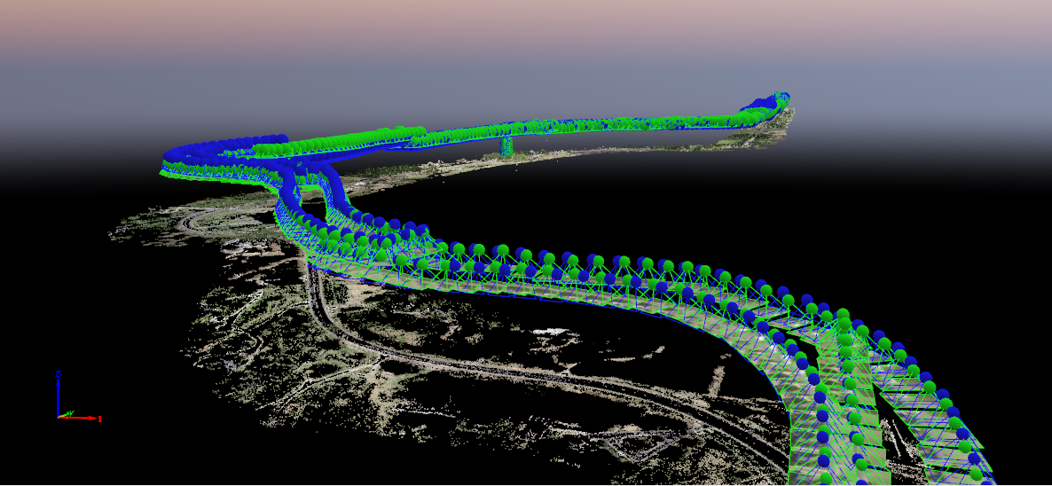
3d Models
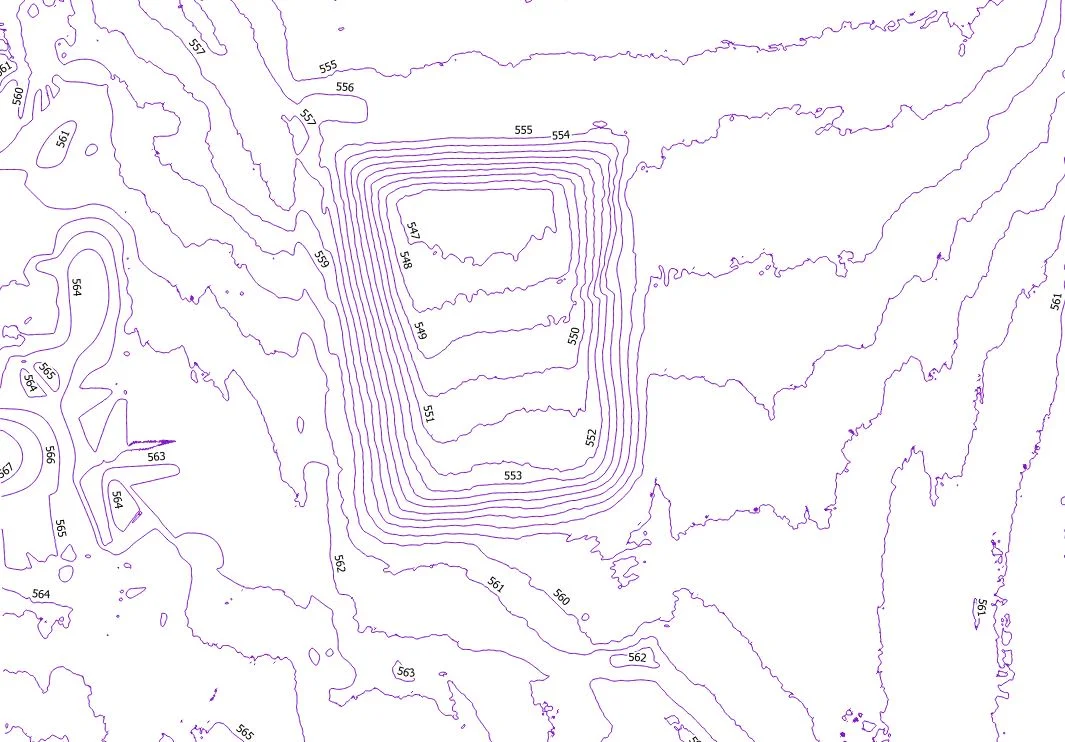
Elevations & Contours
Inspections
Stockpile Volumetrics
Orthomosaics
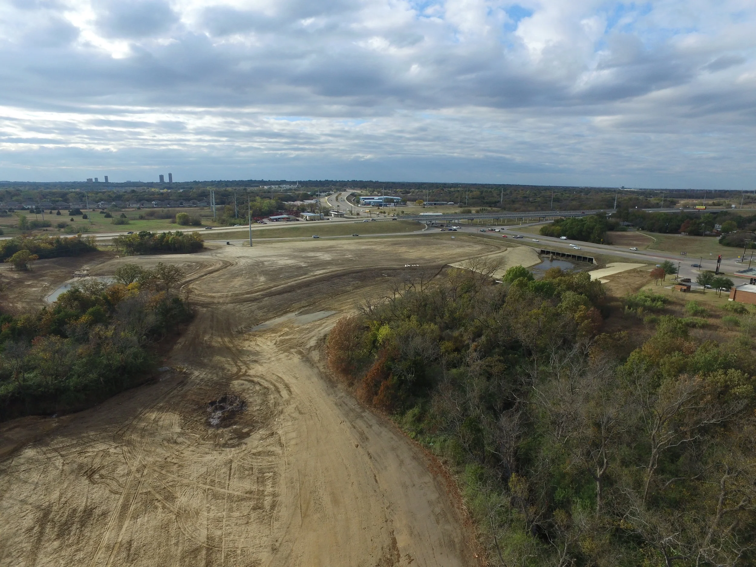
Photography