Drone LiDAR Services for Texas
Texas Drone Company provides aerial LiDAR services by drone (or UAS) for surveyors and engineering clients in Texas. Topographical mapping, the art of capturing and representing the natural and artificial features of the Earth's surface, has taken a significant leap forward with the convergence of drone technology and LiDAR technology. LiDAR, an acronym for Light Detection and Ranging, has become a game-changer in the field of cartography, enabling the creation of highly accurate and detailed topographical maps. When coupled with drones, LiDAR offers a revolutionary approach to capturing elevation data that benefits industries ranging from construction to environmental conservation. Texas Drone Company is your partner to provide professional services that are catered to your needs.
LiDAR for Topography
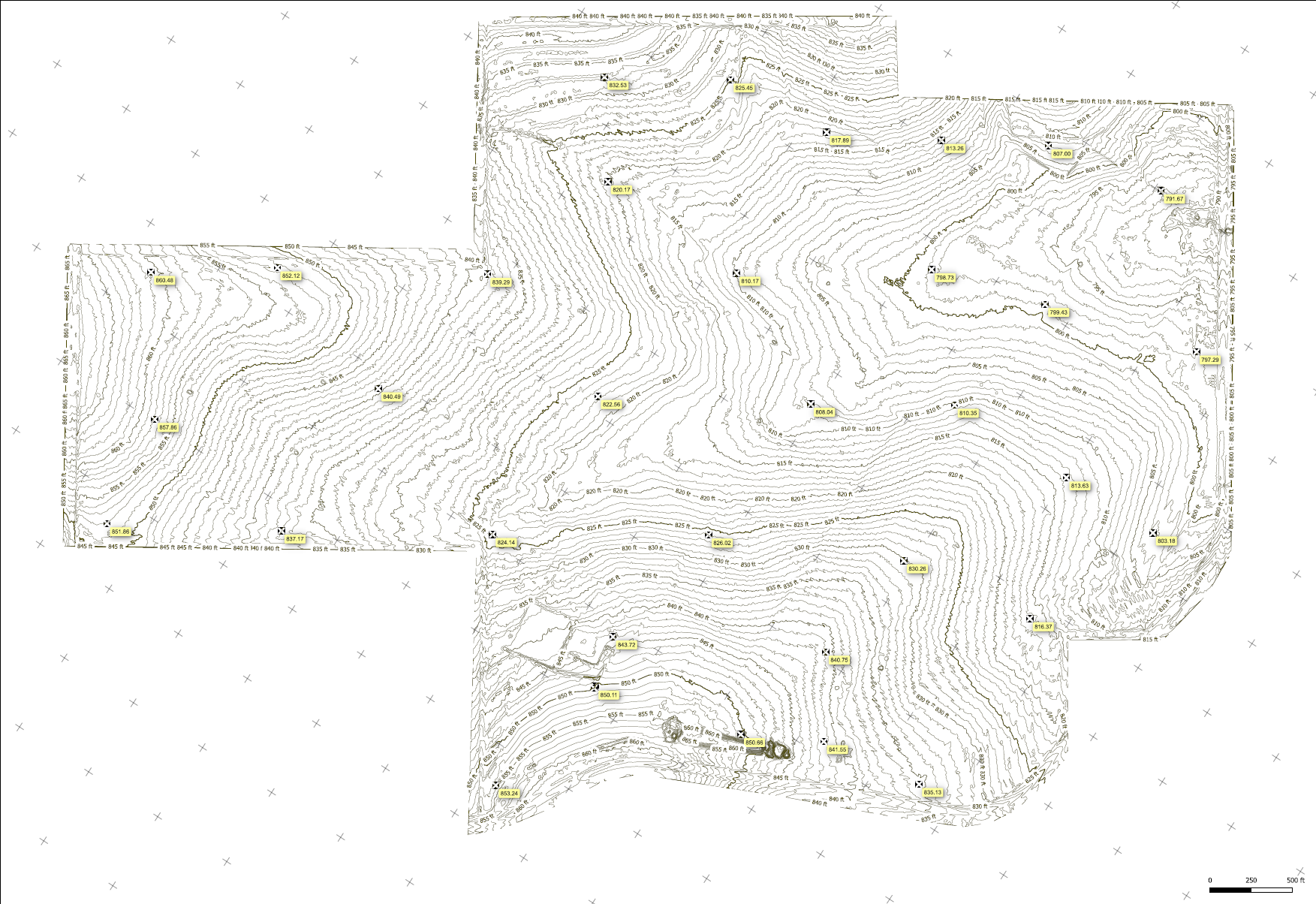
At its core, LiDAR involves emitting laser pulses and measuring the time it takes for these pulses to bounce back after hitting surfaces. By calculating the time delay, LiDAR systems can precisely determine the distance to objects, effectively creating a three-dimensional representation of the environment. In the context of topographical mapping, this technology excels in capturing elevation data with unparalleled accuracy and efficiency.
The Power of Drones

The introduction of drones into the equation amplifies the capabilities of LiDAR technology. Drones equipped with LiDAR systems can autonomously navigate challenging terrains, reaching areas that were previously inaccessible or time-consuming to survey. This flexibility in movement allows for the collection of elevation data from various angles, resulting in more comprehensive and detailed topographical maps. One of the standout features of combining drones with LiDAR is the unprecedented precision it brings to topographical mapping. The elevation data collected through this approach can achieve vertical accuracies within centimeters, a level of detail that is crucial for applications such as urban planning, engineering, and natural resource management. With such accurate data, decision-makers can confidently plan and execute projects with minimal room for error.
unequaled Precision for Engineers
Infrastructure Design:
Engineers crafting the blueprints of roads, bridges, and buildings benefit immensely from drone LiDAR. The technology furnishes them with intricate topographical insights, allowing for the creation of optimized and structurally sound designs. By integrating precise elevation data, projects become not only safer but also more cost-effective.
Construction Management:
During construction, the interplay between drone LiDAR and engineering reaches a zenith. The technology facilitates real-time progress tracking, detecting deviations from plans, and ensuring that the executed structures align precisely with the design.
Flood Modeling and Drainage Design:
Flood prevention and drainage systems necessitate a meticulous understanding of a region's topography. Drone LiDAR aids engineers in delineating flood-prone areas, designing effective drainage networks, and devising strategies to mitigate potential risks.
Laser-Focused Aerial Support for Surveyors
Land Development:
Surveyors, armed with drone LiDAR, can efficiently create highly accurate digital terrain models. These models provide insights into the land's contours, enabling informed decisions about land development, site grading, and foundation design.
Boundary Identification:
Drones equipped with LiDAR streamline the process of mapping property boundaries. Surveyors can now map extensive areas more swiftly while maintaining meticulous accuracy, resolving disputes and ensuring legal clarity.
Mining and Quarrying:
Surveyors in the mining industry harness drone LiDAR's capabilities to monitor excavations, assess stockpile volumes, and ensure compliance with mining regulations. This enhances safety, resource management, and operational efficiency.
In the hands of engineers and surveyors, drone LiDAR has transcended its technological roots to become an invaluable partner in the pursuit of precision and innovation. Its role in infrastructure design, construction management, land development, and more illustrates its transformative potential across these fields.