Drone Images & Video
from only $250 Visit!
Stop wasting your Project Manager’s time learning to fly a drone and navigate complicated FAA rules and airspace. Our turn-key solution means professionally captured, edited and annotated images and video arrive in your inbox automatically. Our dedicated pilots are trained and experienced to fly in any kind of airspace and situation. Imagery is beautifully edited for color and annotated with Project Name and date as well as your company’s logo.

Scheduled
Flights

Beautiful
Edits

Delivery

Happy
Team
Drones will play an increasing role in the construction site of the future. Texas Drone Company can help you incorporate drones into your existing workflow or even help you develop new workflows that were previously impossible.
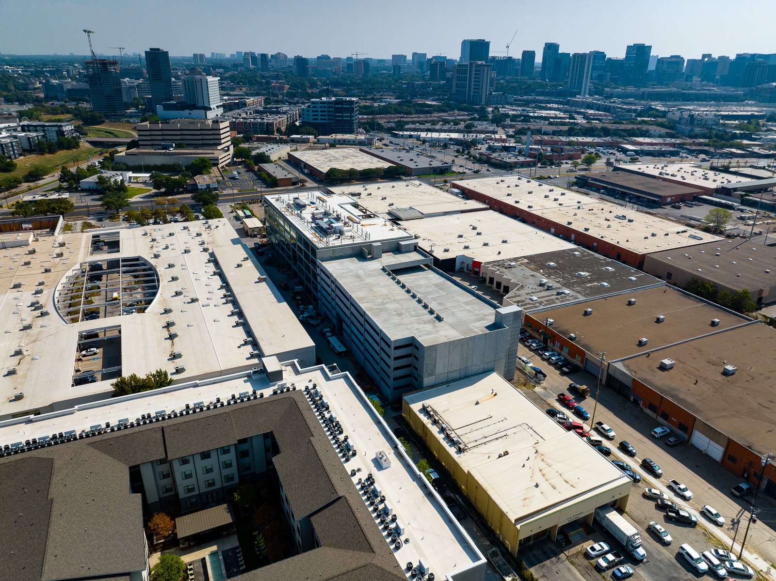
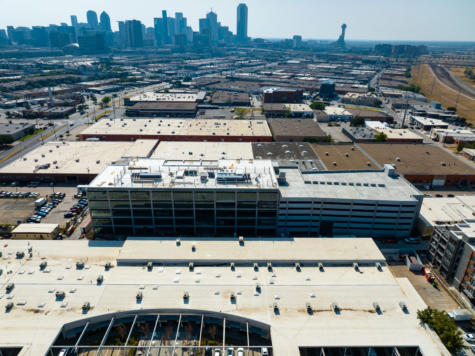
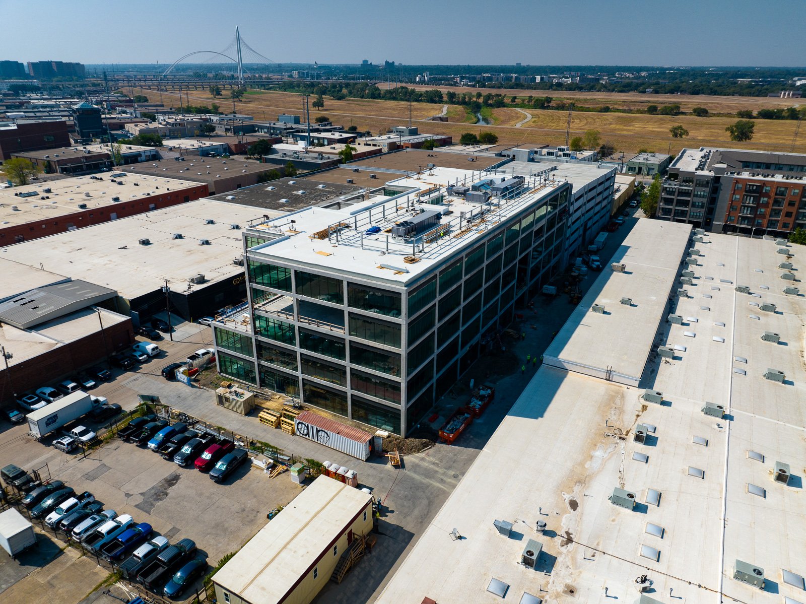
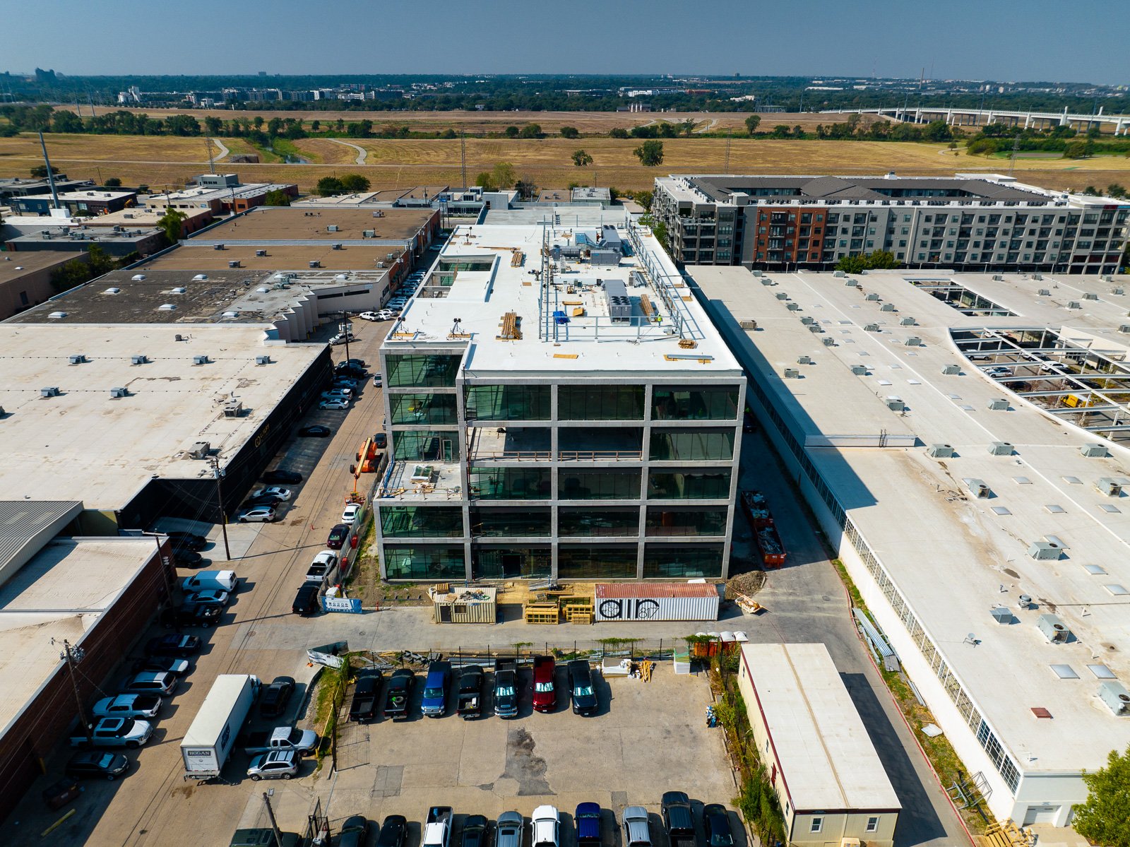
Cardinal Images
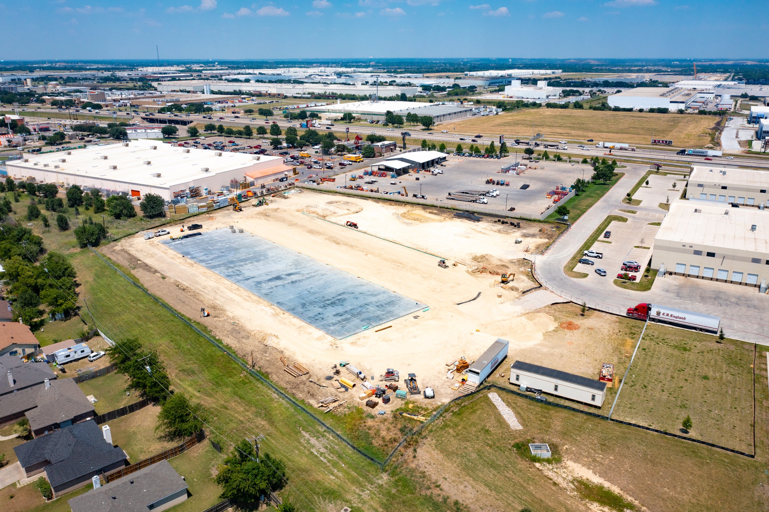
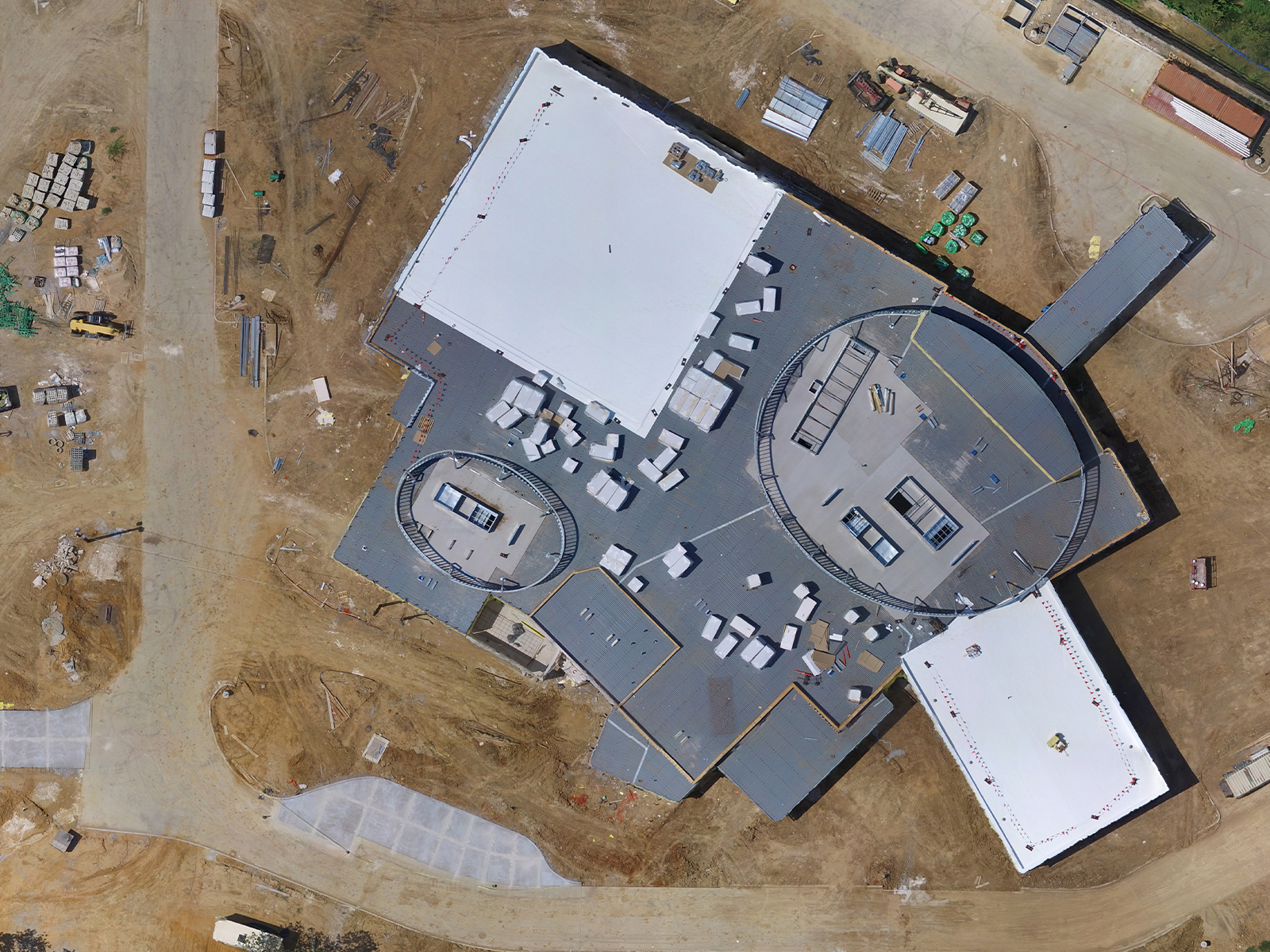
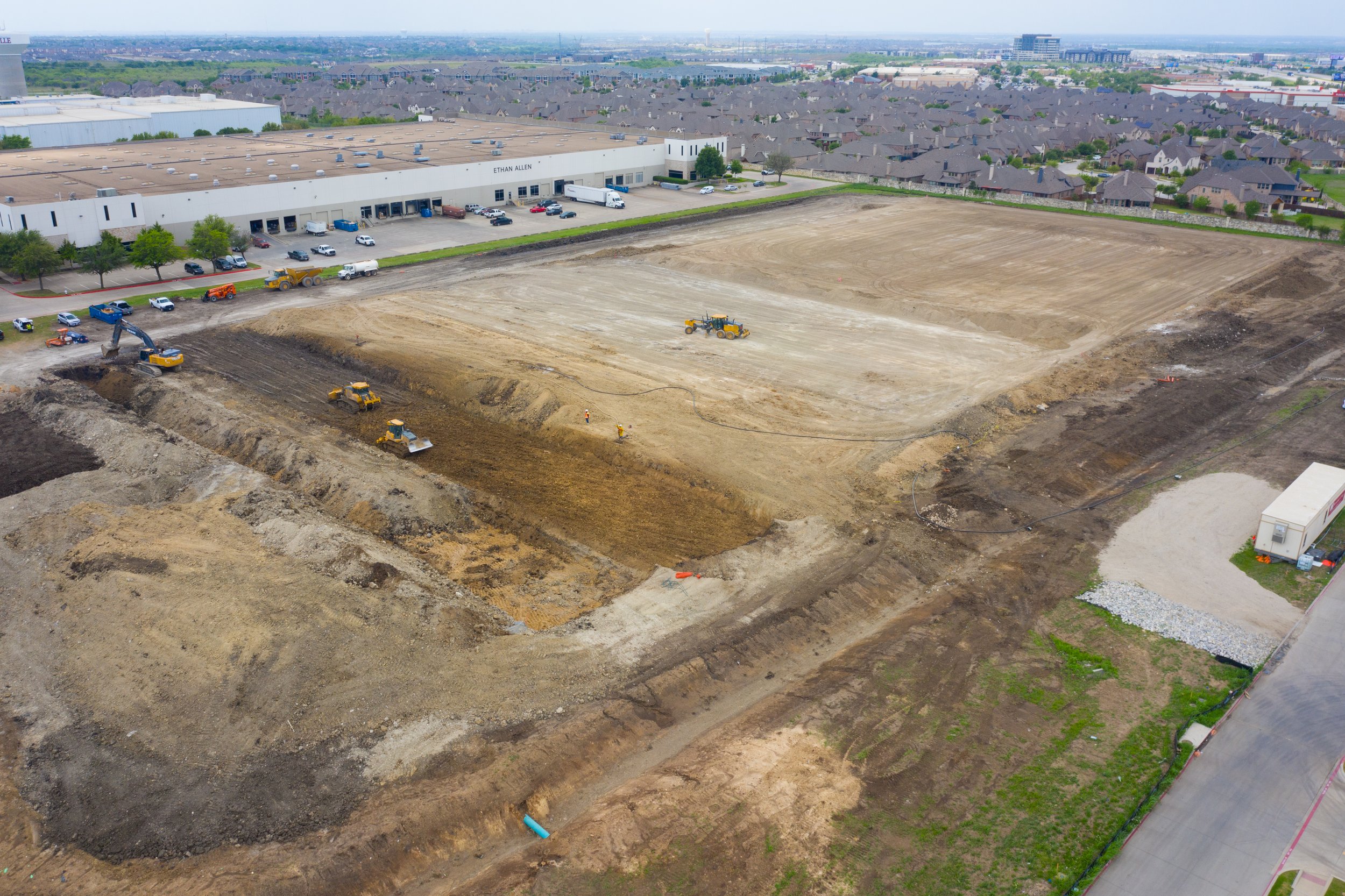
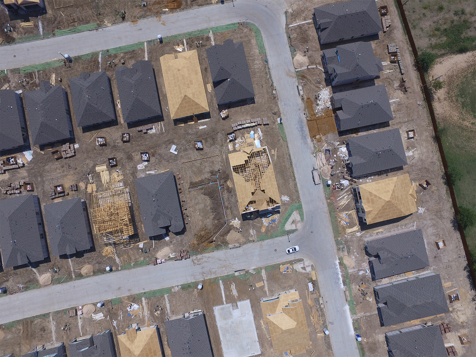
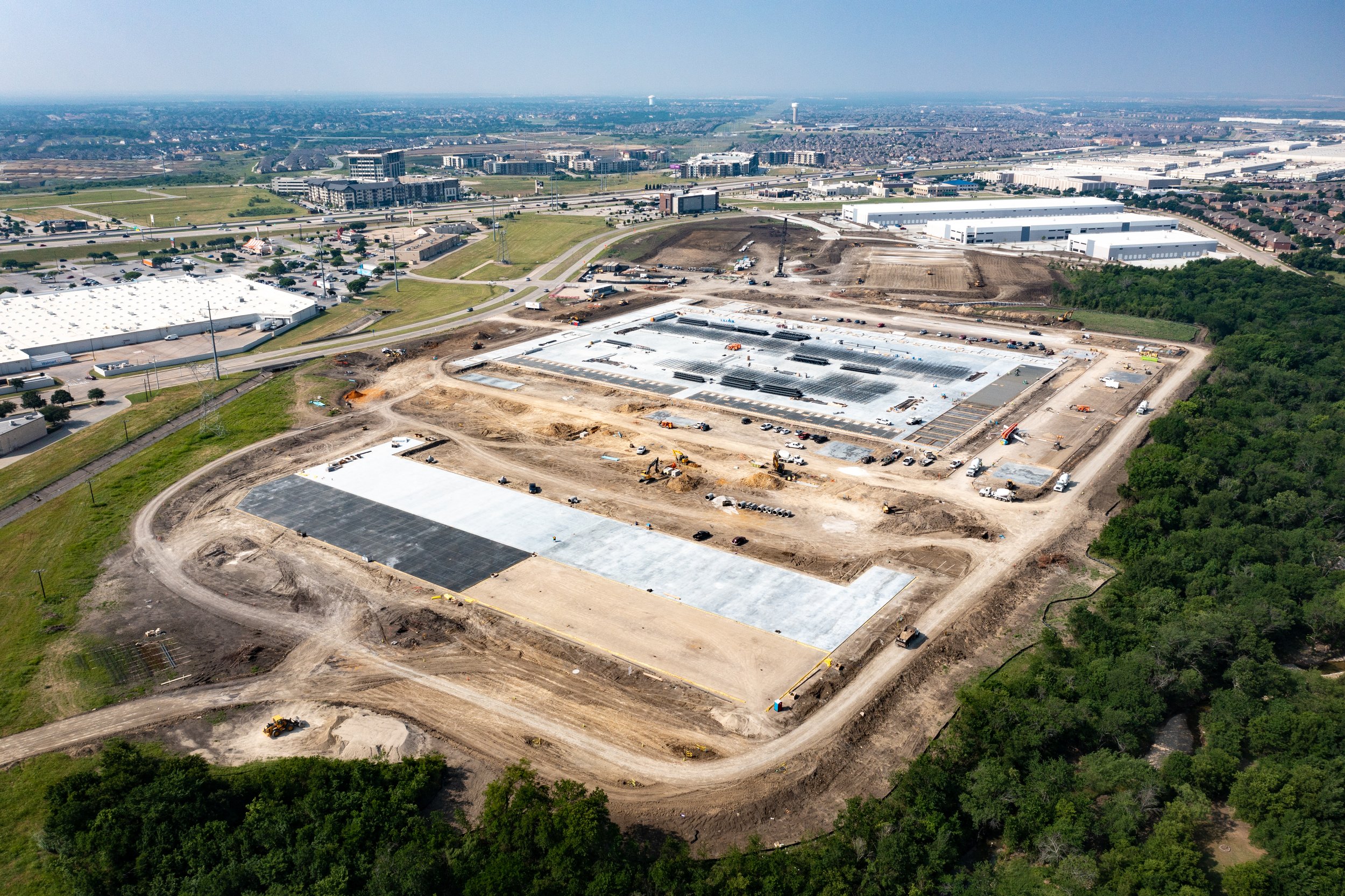
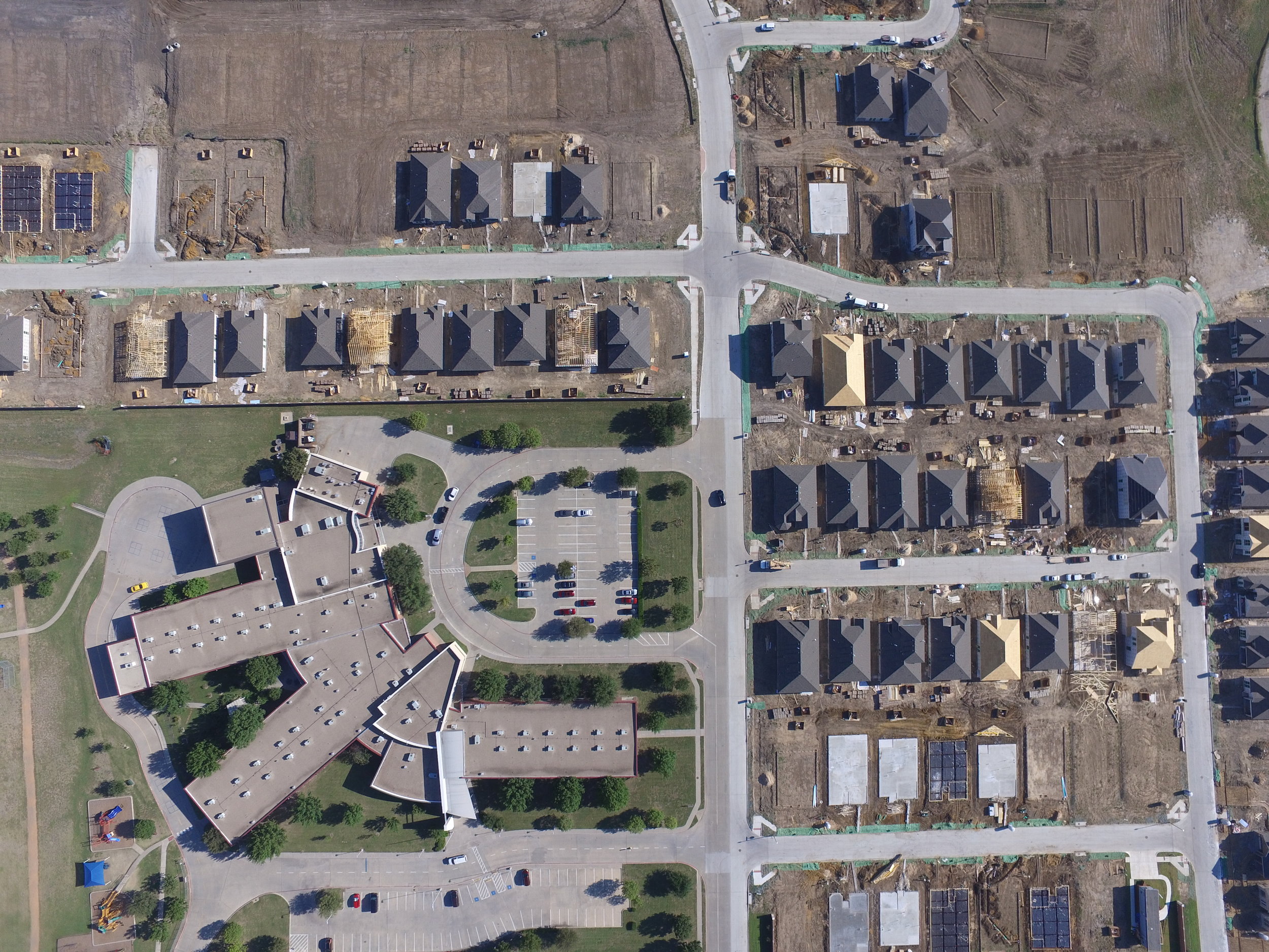
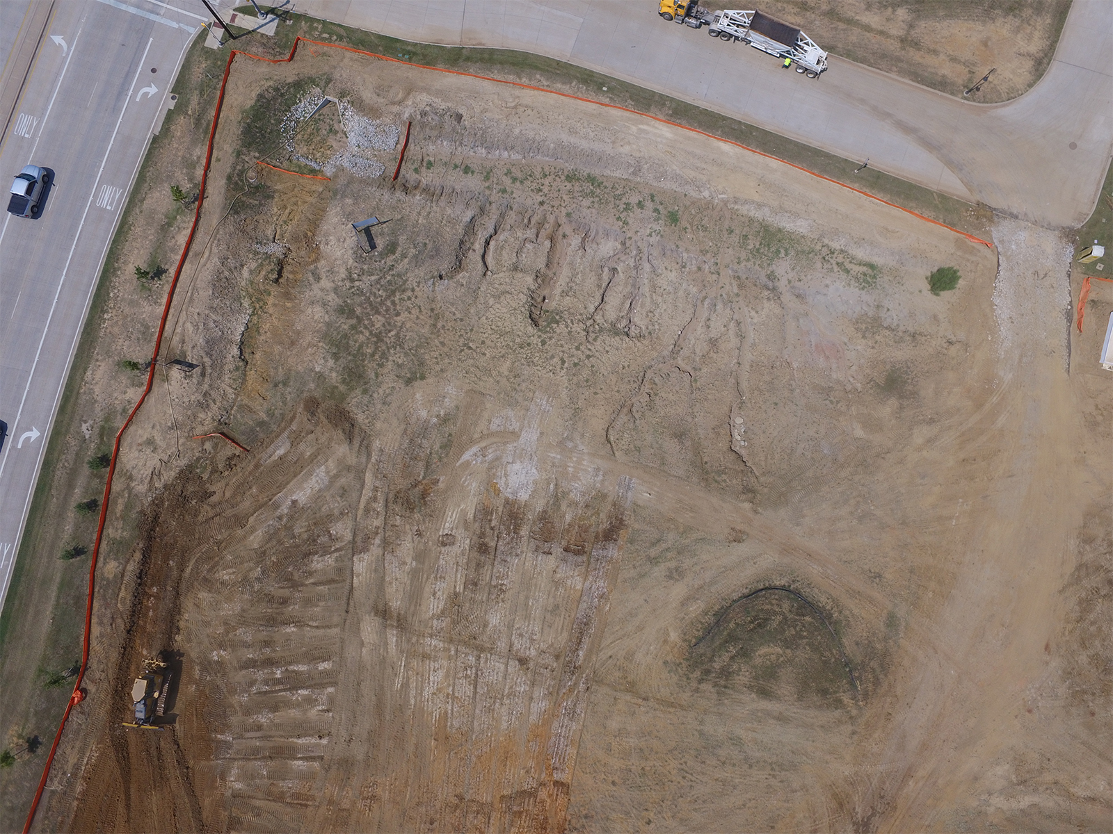
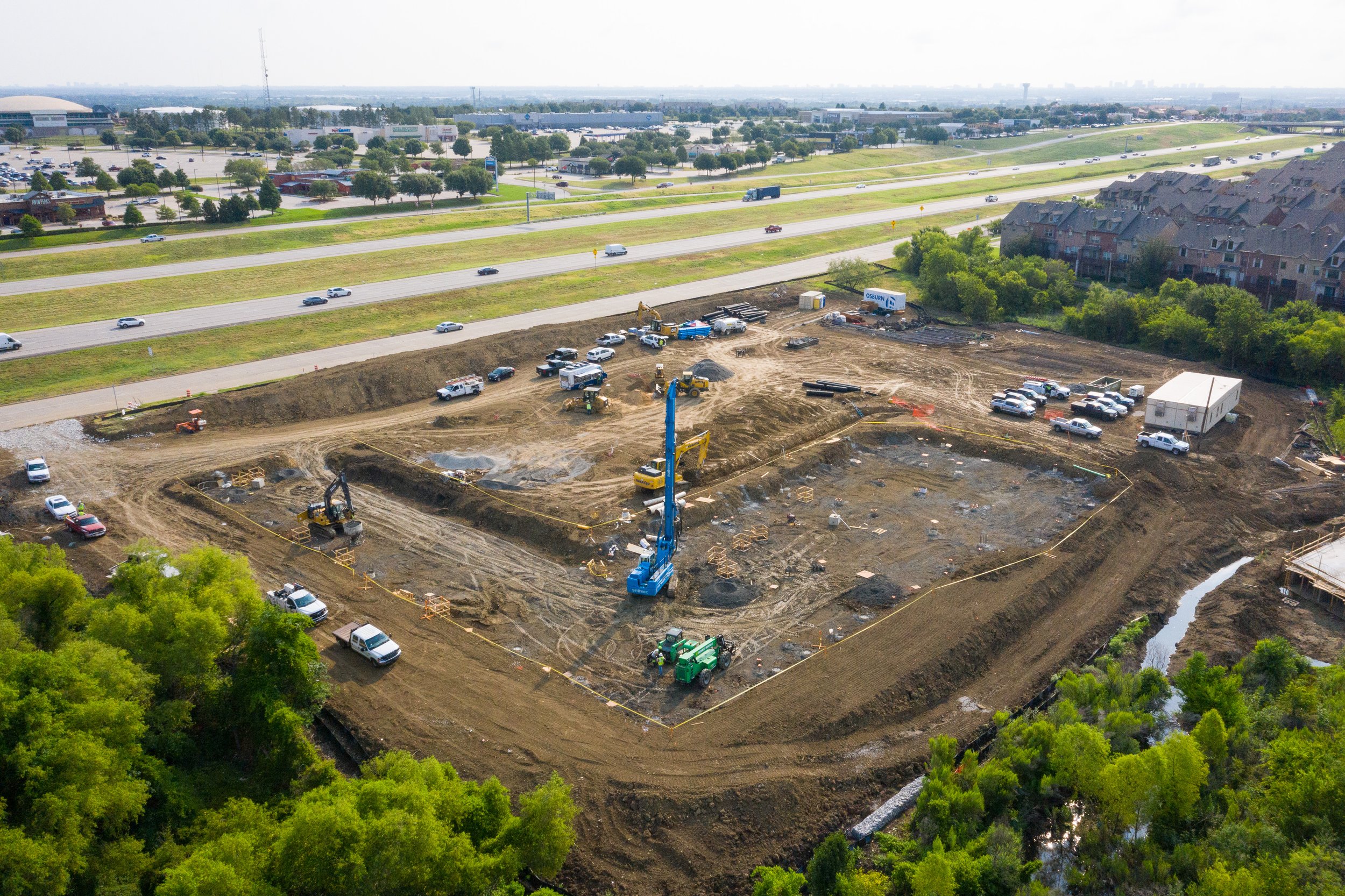
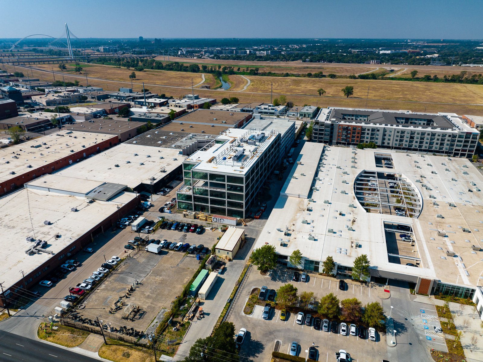
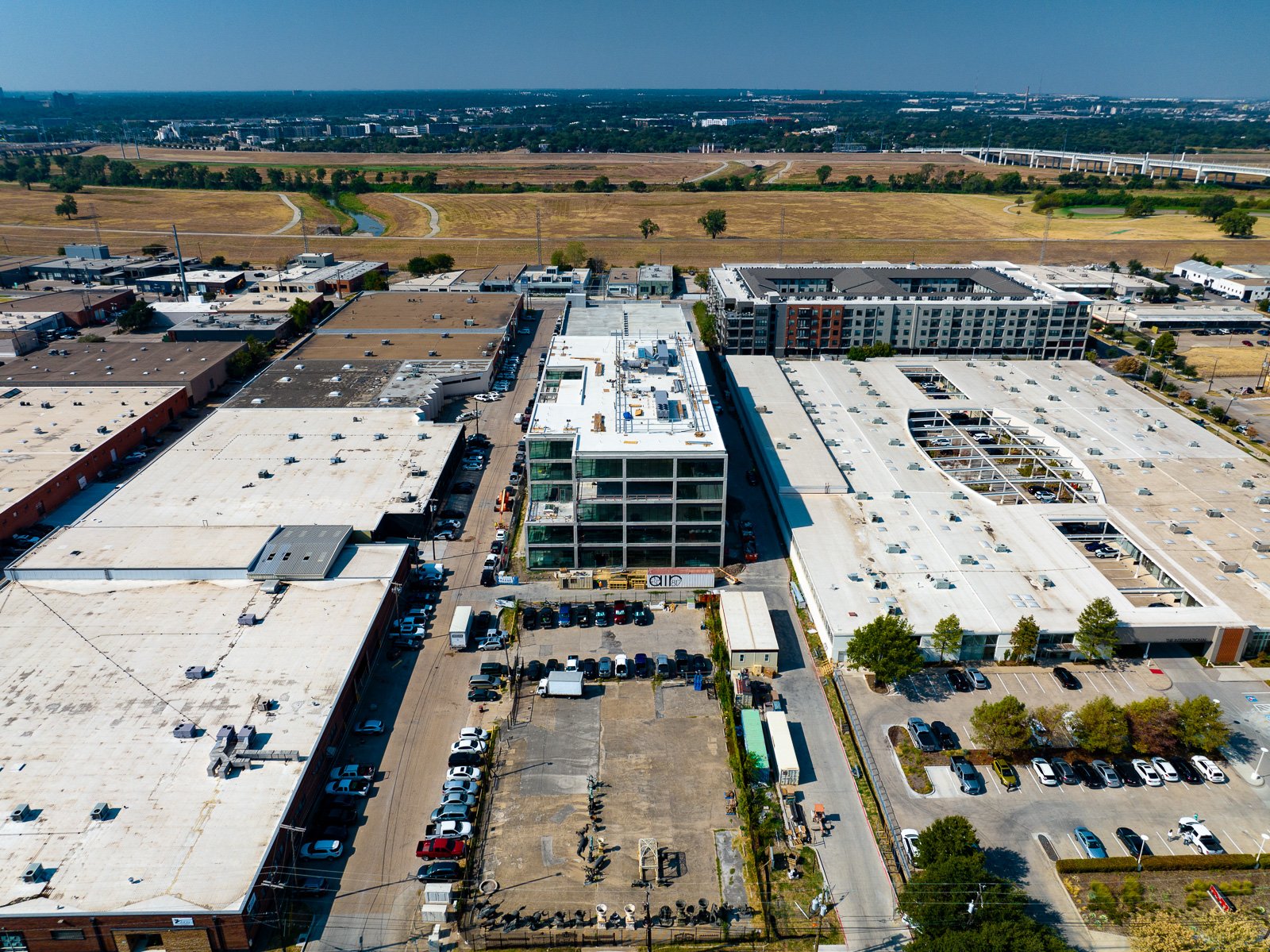
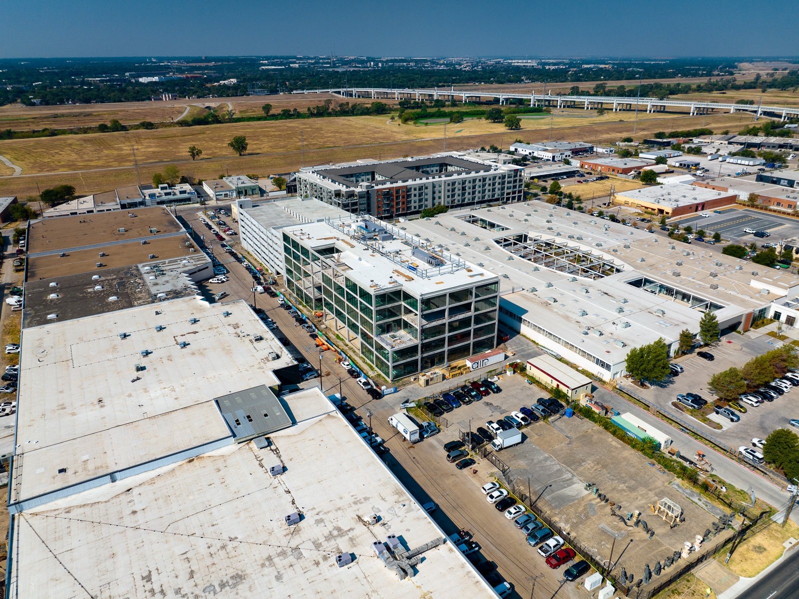
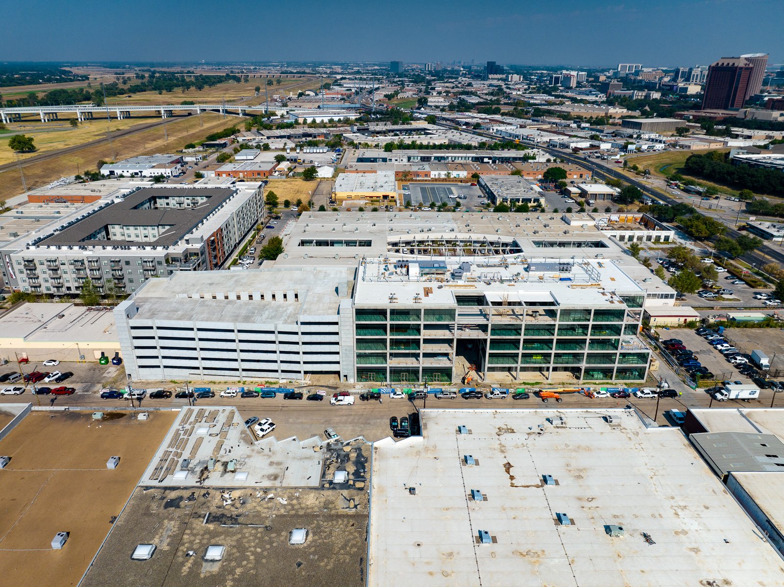
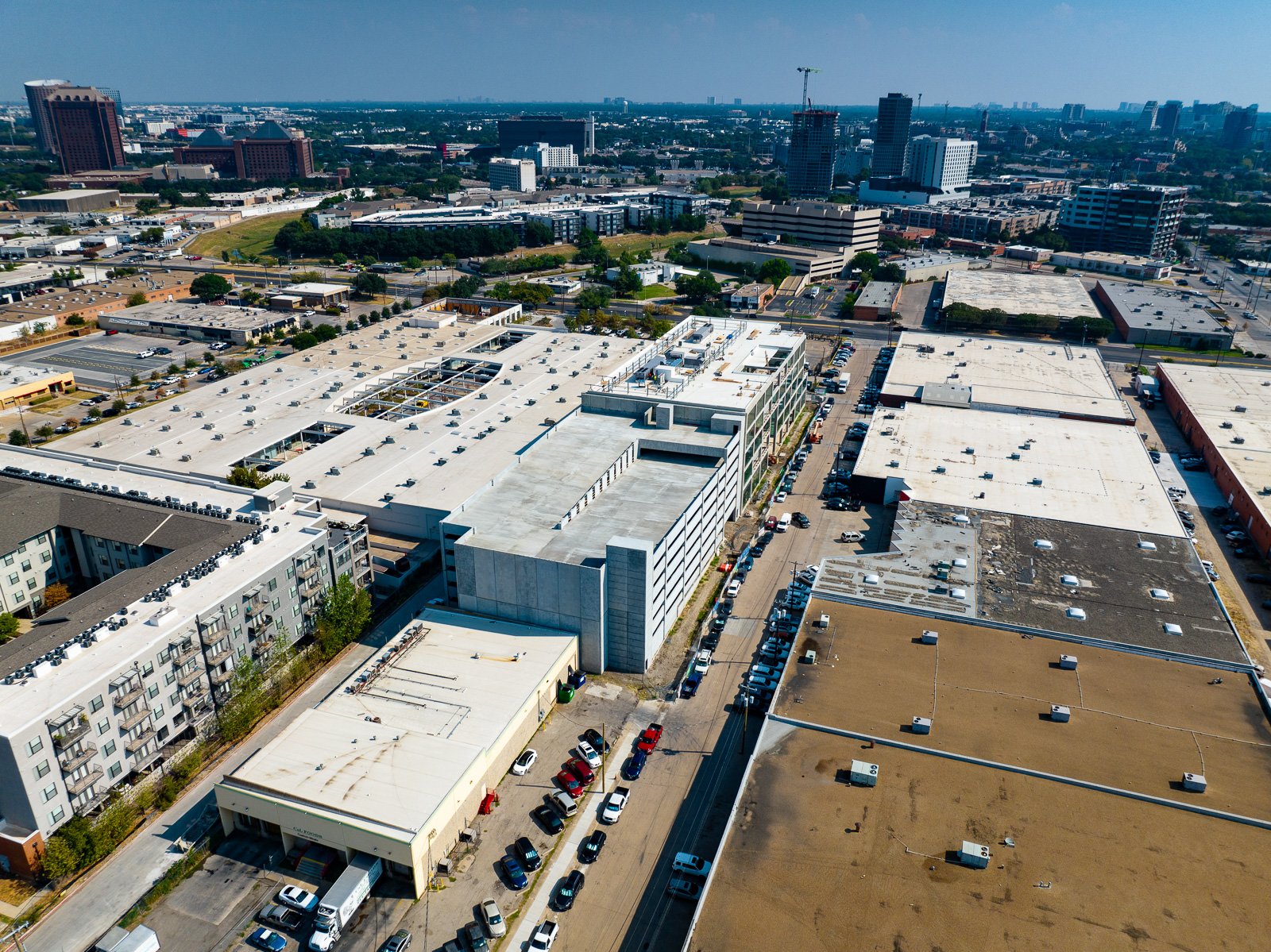
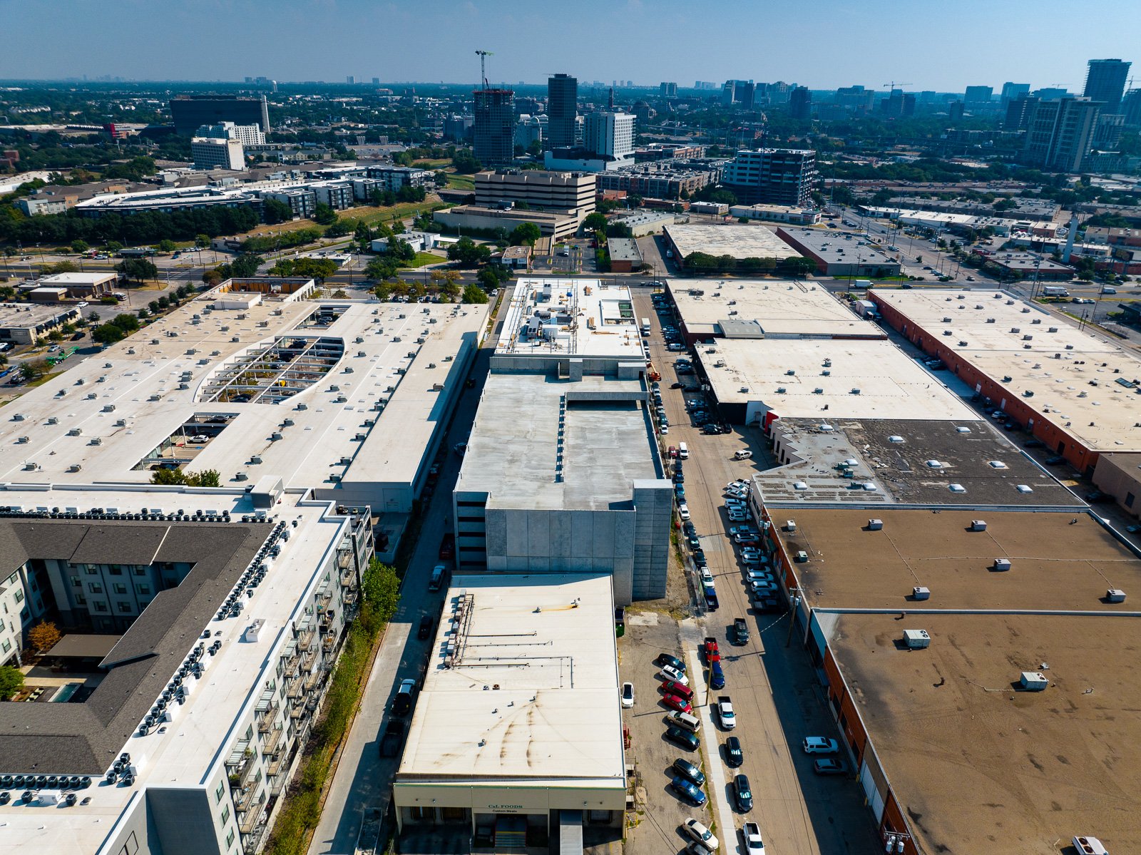
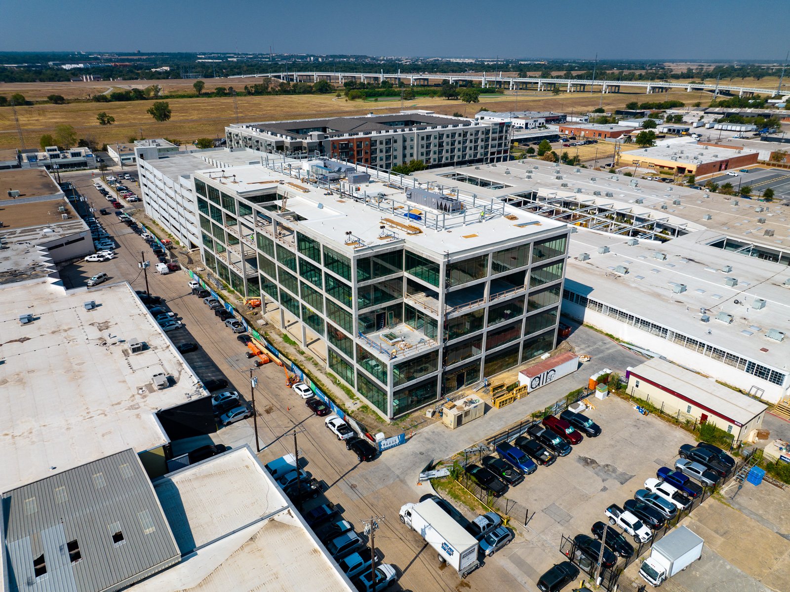
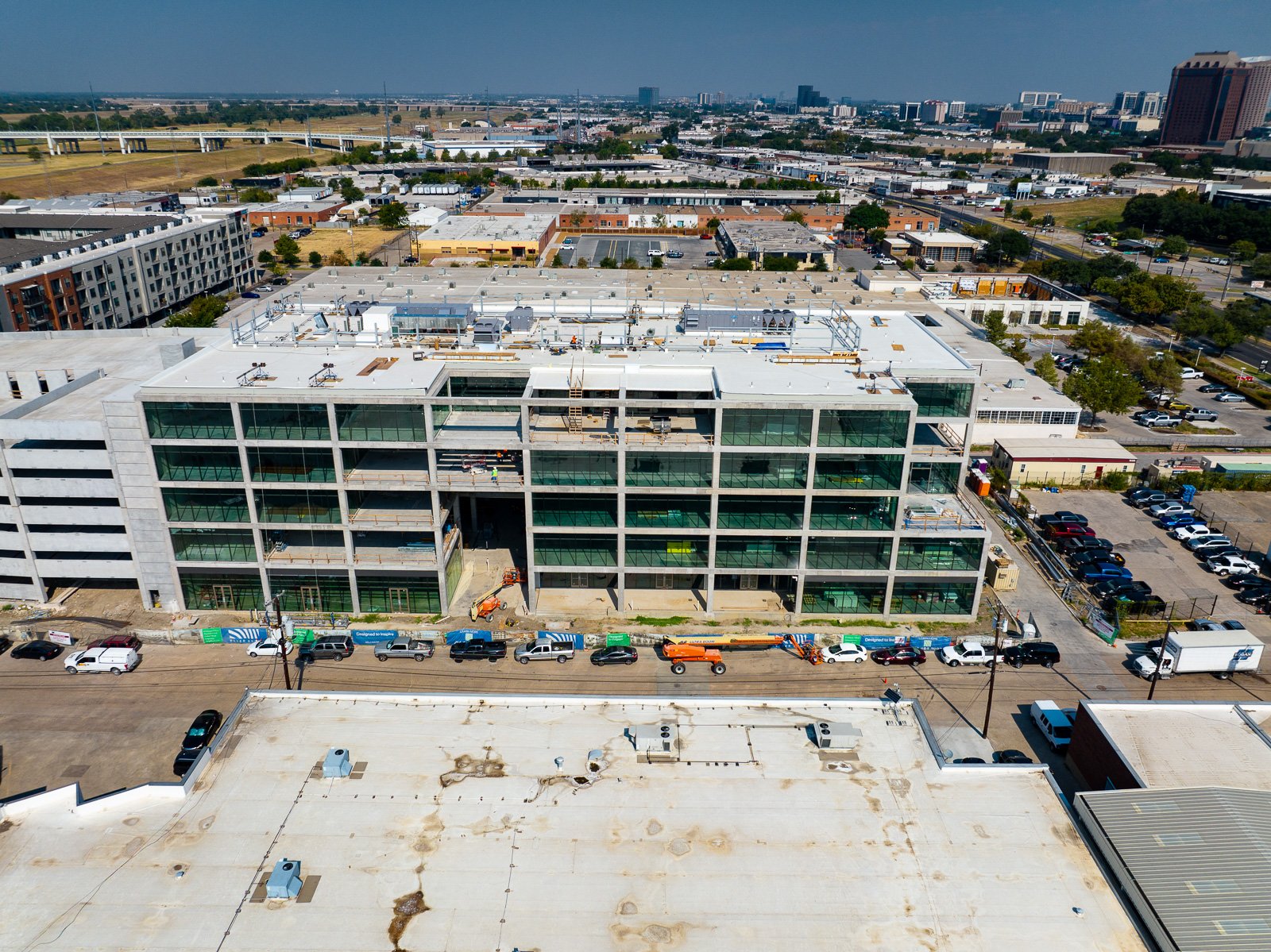
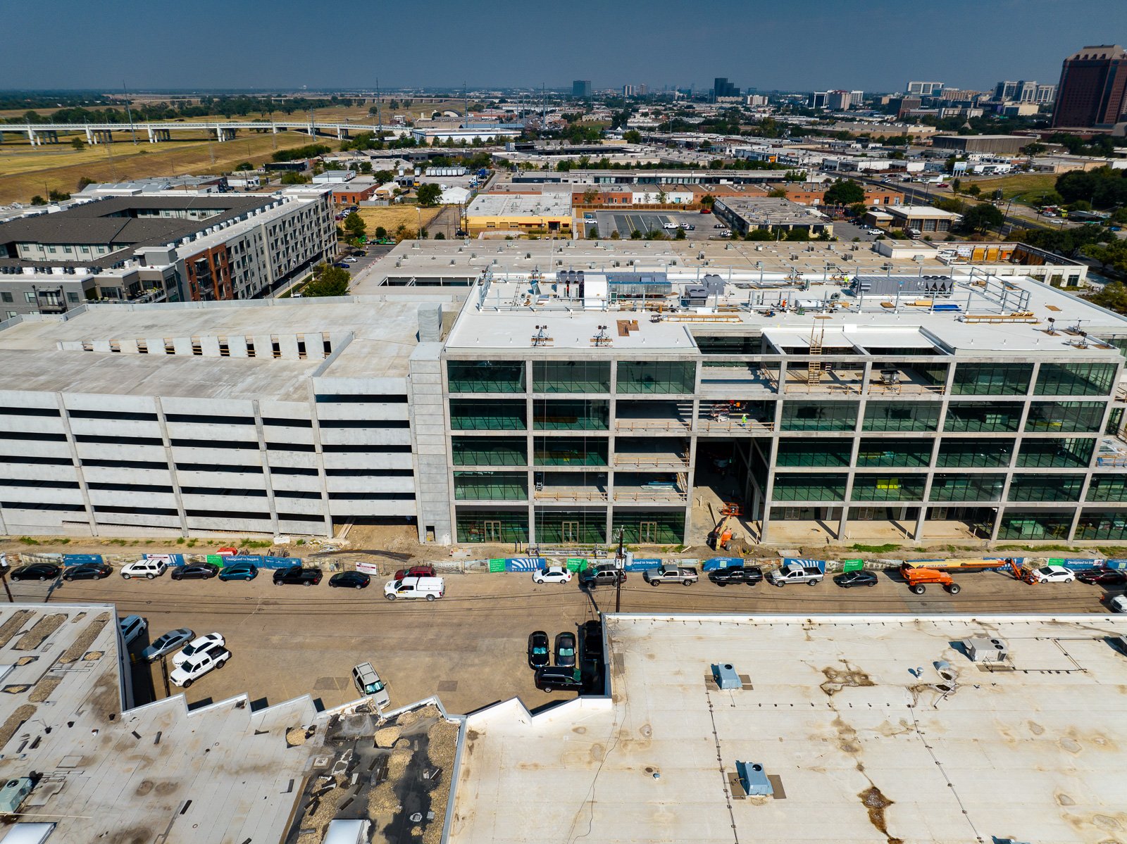
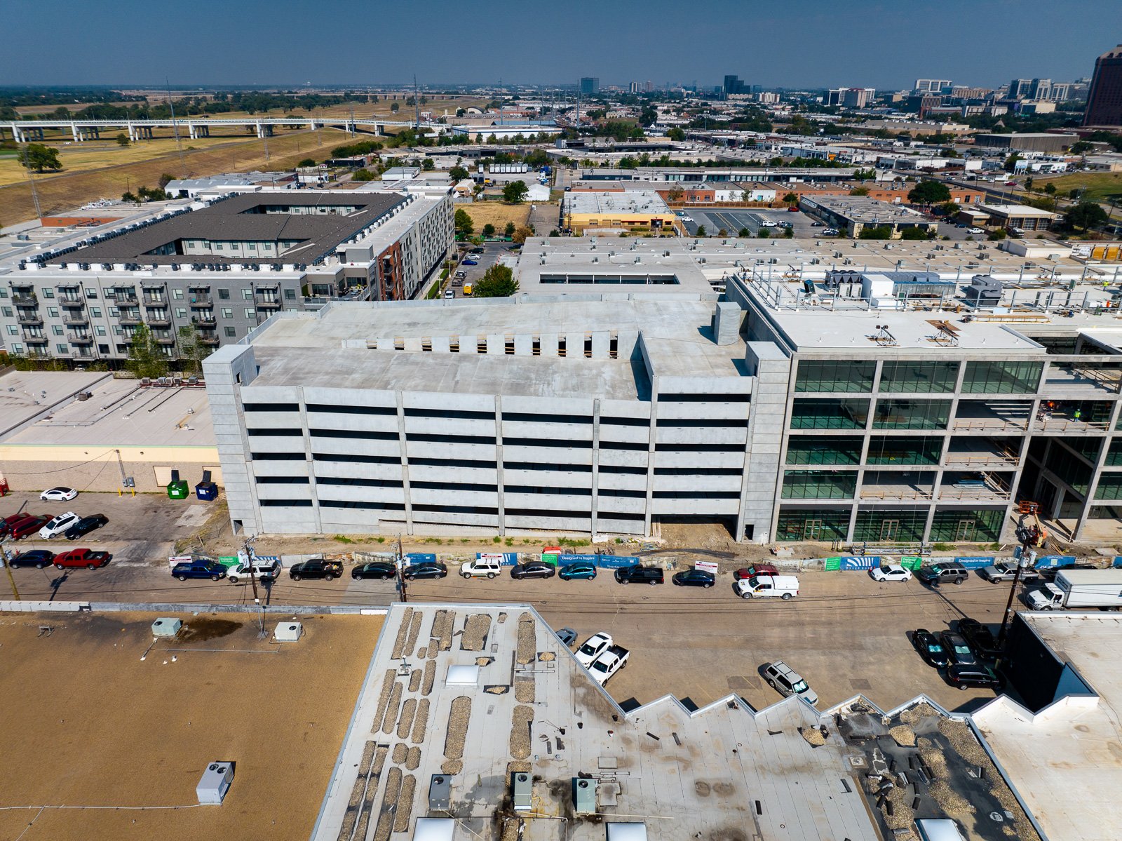
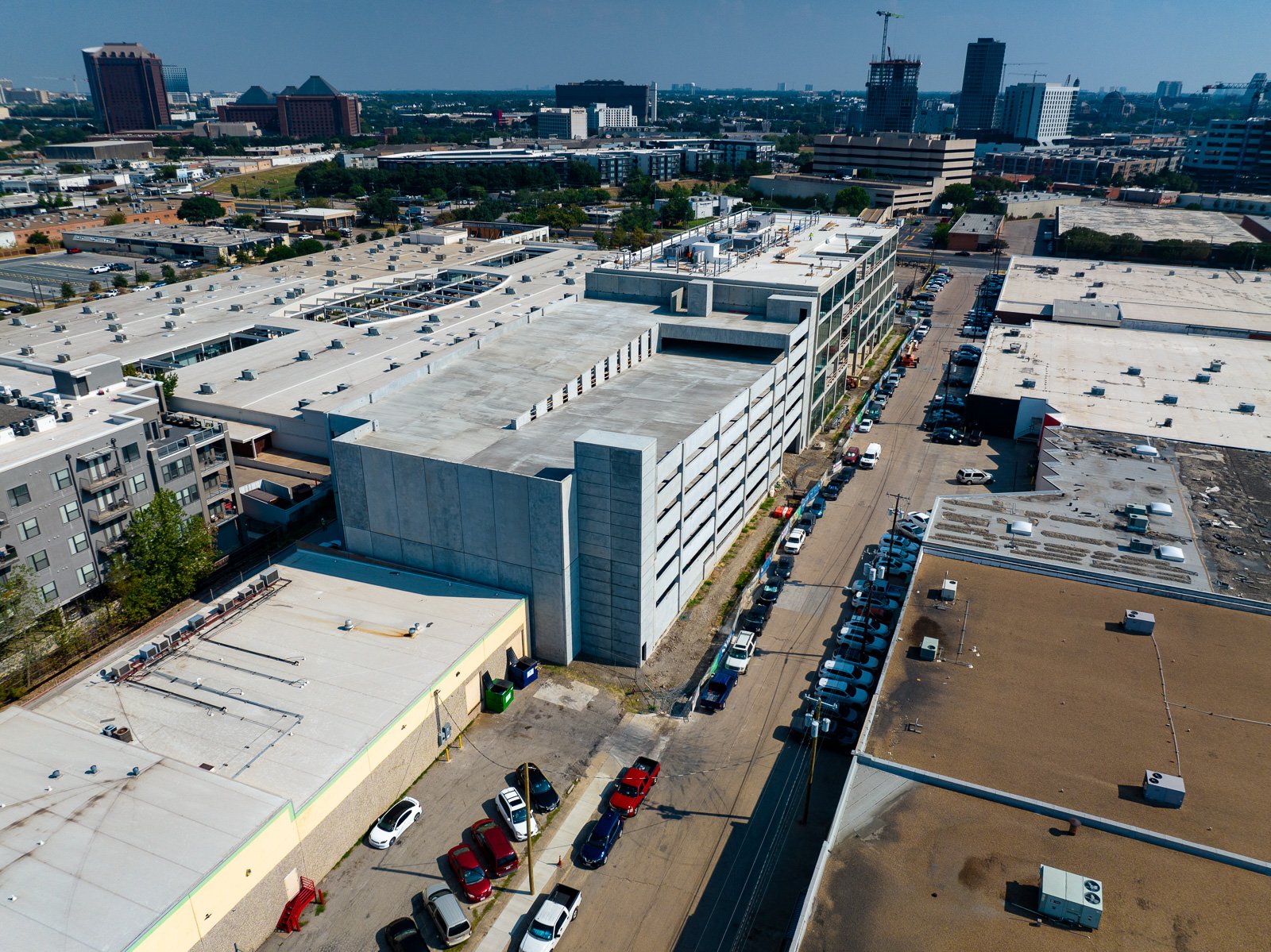
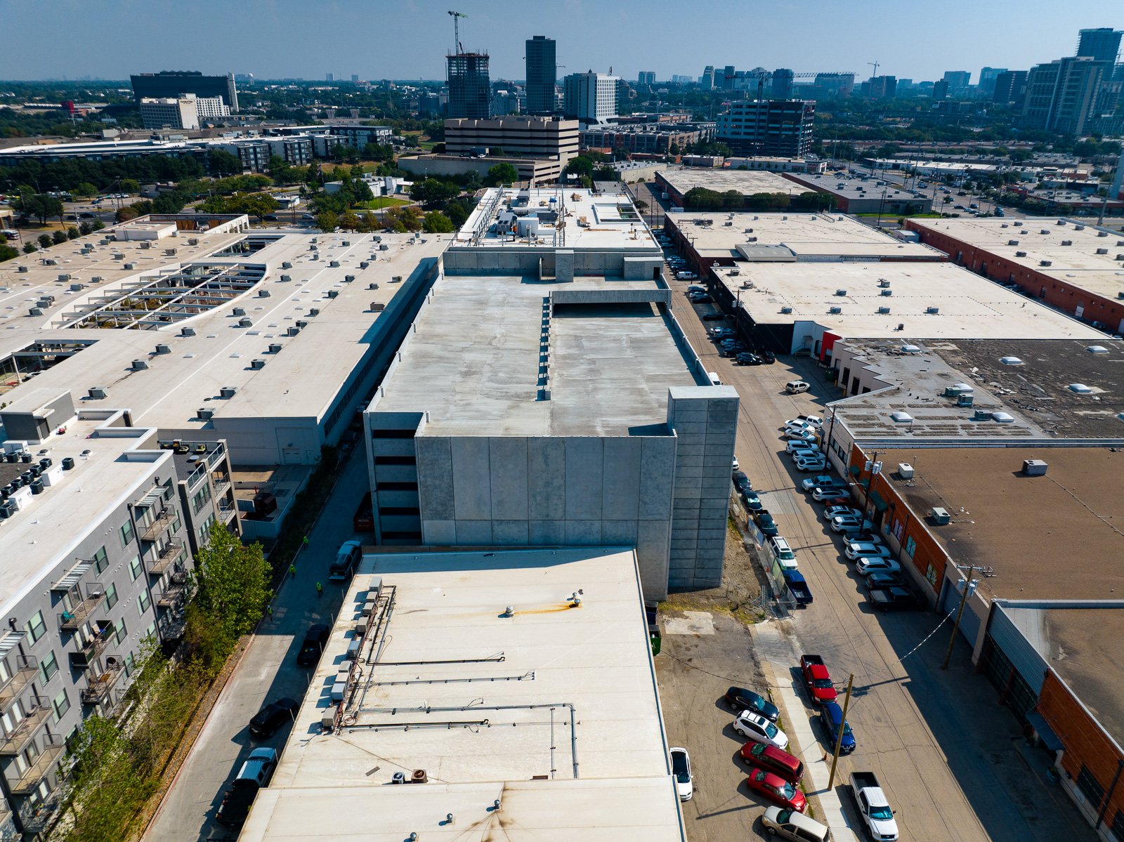
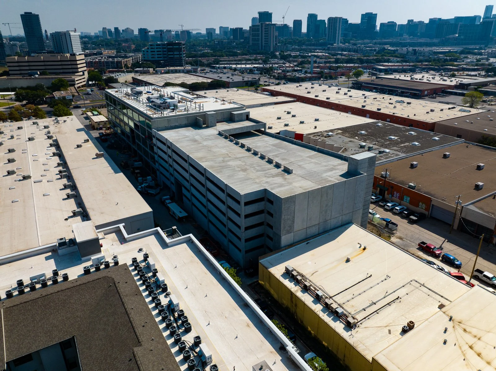
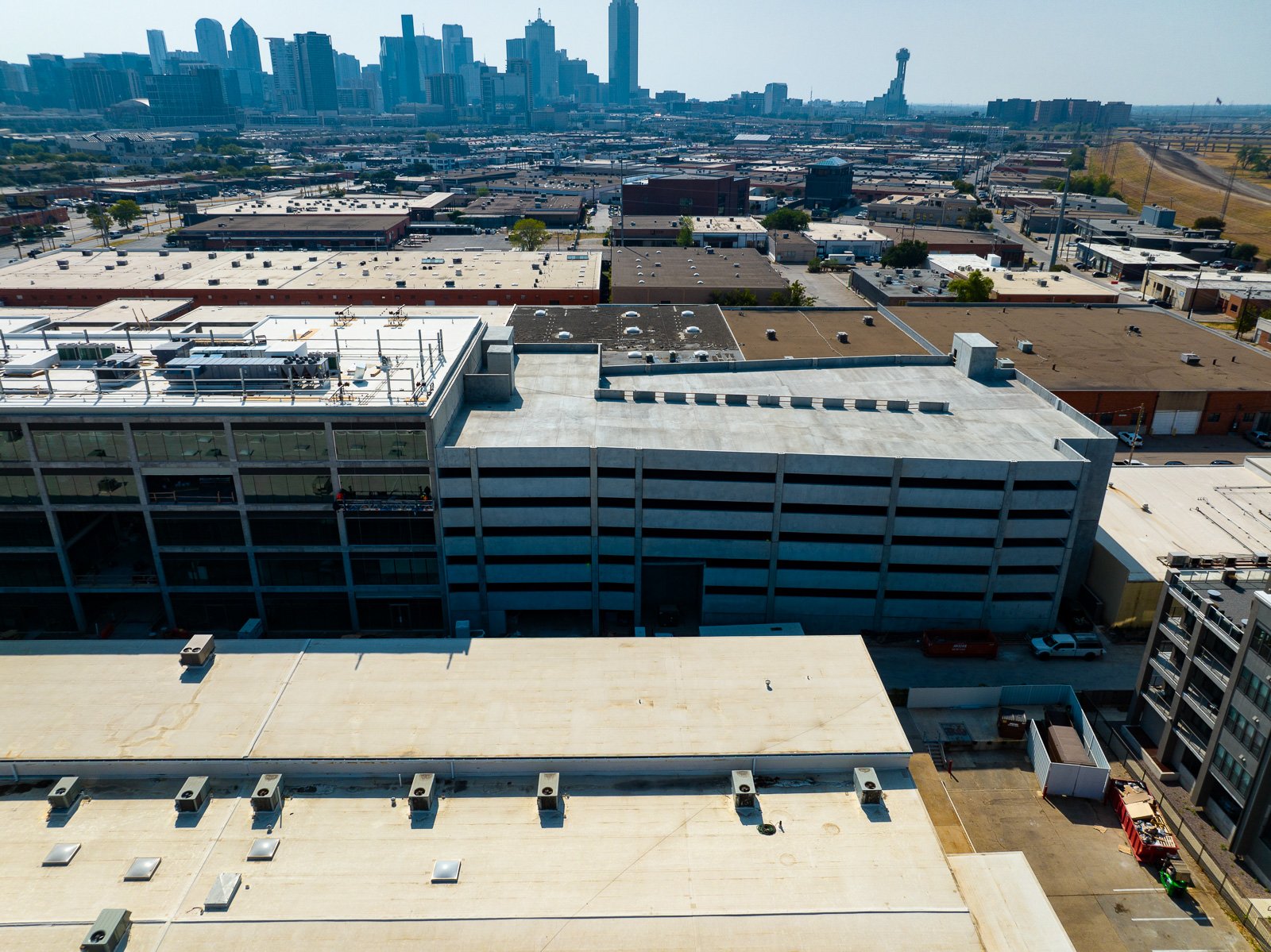
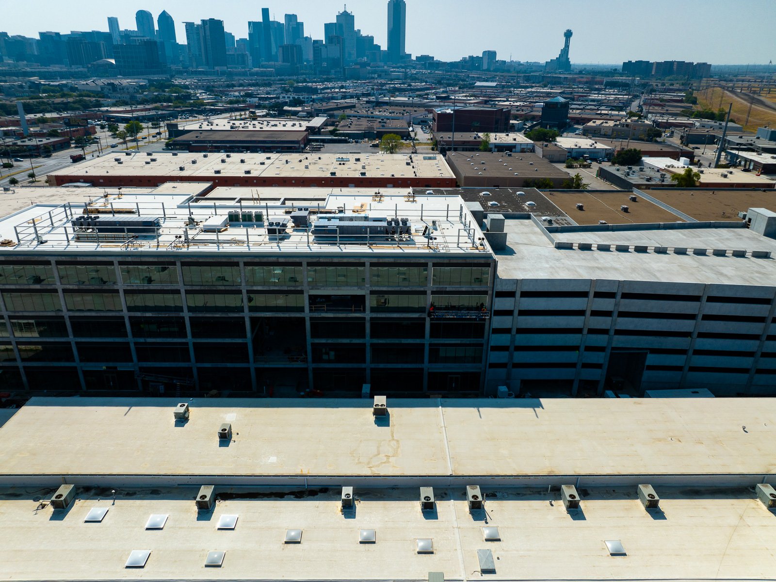
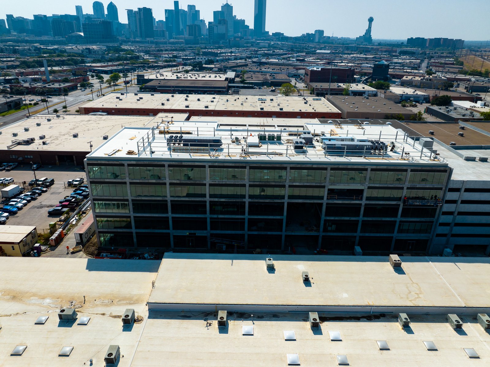
No longer do you have to settle for poor image quality and only 3 or 4 photos from half a mile away produced by traditional methods. Drones can produce dozens or even hundreds of images with extreme resolution from the same spot week after week.
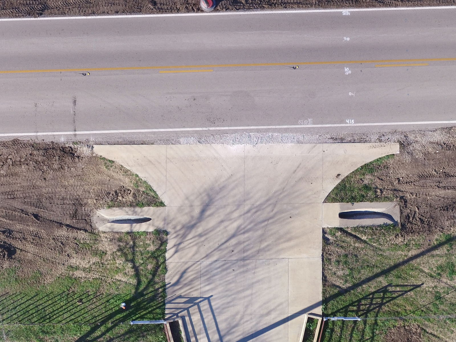
3d Construction Modeling
Unlock the true capabilities of drones when you bring the 3d point cloud into your own software or modeling apps. txDroneCo's drones produce elevation and topographical maps that your team will come to rely on everyday on your construction site.
Construction Project Info

Highlight your project details on each image with custom graphics and information embedded onto each delivered image. We also provide images without these “frames”. Afterall, these images are yours, we won’t hold copyrights hostage or anything like that. These “frames” can be customized to include your company logo or that of your client’s.
What the Industry Has to Say
W. M. Jordan started using drones four years ago initially for photography but has since expanded to use them for marketing, site logistics planning, land surveying, monitoring progress, thermal imaging, measuring the amount of dirt or gravel moved and inspecting existing facilities. -Constructor Magazine
[C]onstruction and engineering firms are leaps and bounds ahead of similarly sized companies in other industries. Some large firms already employ dozens of full-time flight crews to maximize drone data at every step of the process, from design and building to marketing and ongoing inspections. Construction firms of all sizes have been quick to identify dozens of use cases that have made old processes faster, cheaper, safer and simpler—as well as create entirely new revenue streams. -Construction Executive
There is a wide variety of applications for drones in the construction industry. They have been used to survey large areas, scale bridges and buildings taking high resolution images to assess the condition and even make basic repairs. Komatsu is using its drones to cut down on the time it takes to survey a foundation. -Construction Business Owner
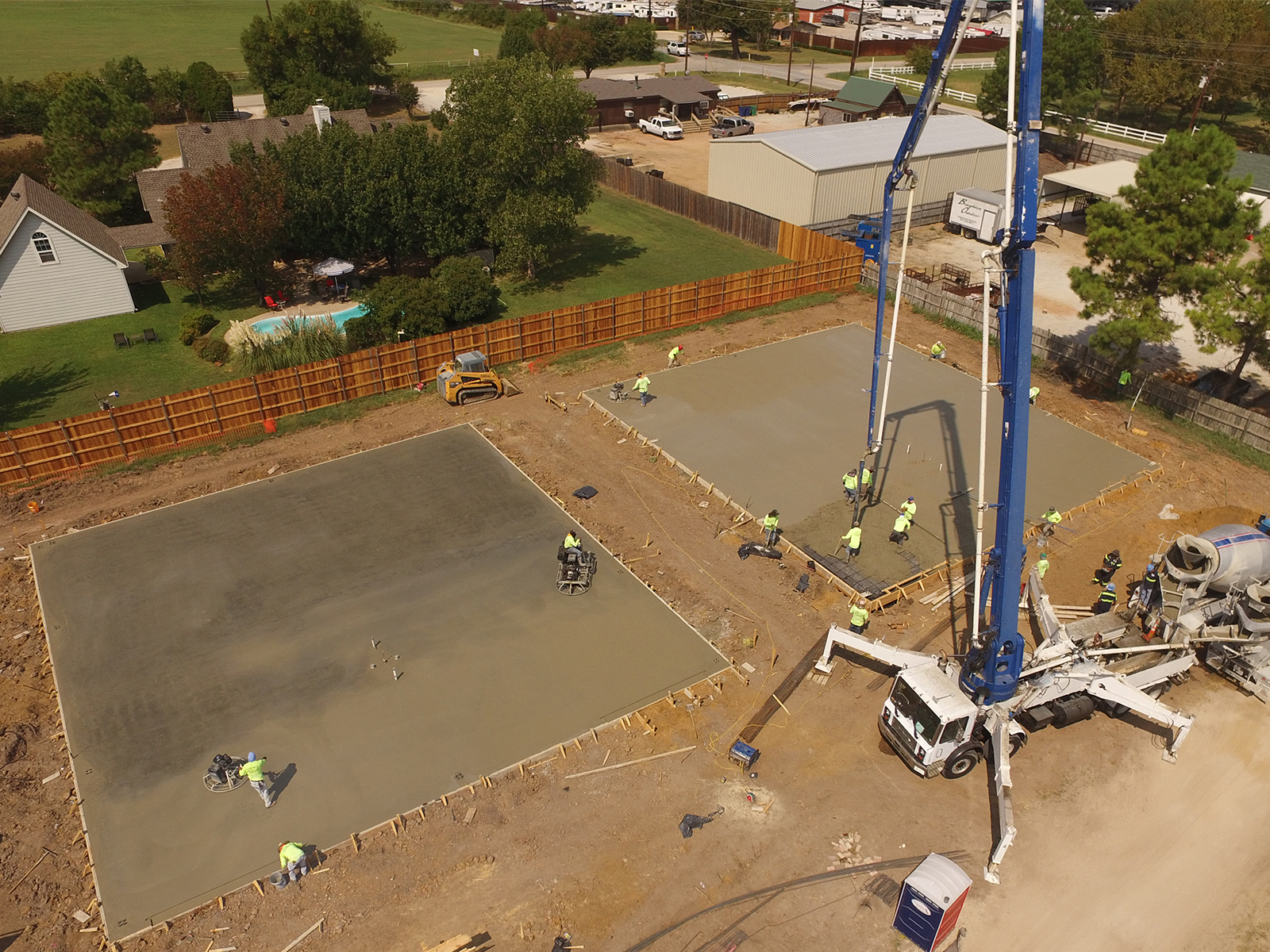
Progress Monitoring

Go back through your site week by week to identify trends and see problems before they become reworks. Eliminate the need for on-site monitoring for funds release with monitoring via 4k video, high-resolution imagery or by 3d models.
Construction Mapping

"The trades love it, being able to walk up to the wall and see nine weeks of construction photos. They pull these up in every sub meeting, every owner meeting. We have data from that week to show contractors, ‘Hey, the site’s a mess, you guys need to go clean it up.’ You can see rebar spread out all over the place, so there’s no arguing. They see it for what it’s worth.” — McCarthy
Measurements

Companies are using drone mapping technology to measure distance, area & volumes on the job with a click of the mouse. With elevation and contour maps, supervisors can quickly see where dirt is piling up on their site and they can determine where it should go. Because txDroneCo can use surveyed GCPs, we're talking about extreme accuracy.