Neighborhood Development
Aubrey, TX
With monthly videos you can clearly see the progress of the site unfold as it happens. Using the same flight path every month, progress is documented from the same perspective every time. Available in HD with annotations or without and with your branding.
High Resolution Orthomosaic
The above image is suitable for printing up to 86 inches wide at 300 DPI. The achieved resolution was 9in/pixel flown at 396 feet in altitude. Most jobs are flown from 125-250' acheiving 1.2in/pixel.
Elevation Heat Map
Topo & Contours
Example Data Sets
Click the button below to access a Dropbox folder with sample data sets of a neighborhood development project. Files included:
Digital Surface Model - utilizing point cloud classification
100ft Grid - point file, TIN surface and Contours
25ft Grid - point file, TIN surface and Contours

3d Model of 181 acres
Measurements from maps
The above video shows how easily volume measurements as well as lengths and area can be computed from the orthomaps that are produced. Volumetric calculations alone can save hundreds of dollars and days of production.enabling accurate estimation of overburden and fill needed. Quickly annotate maps and share with your team.
Volumetric Calculations


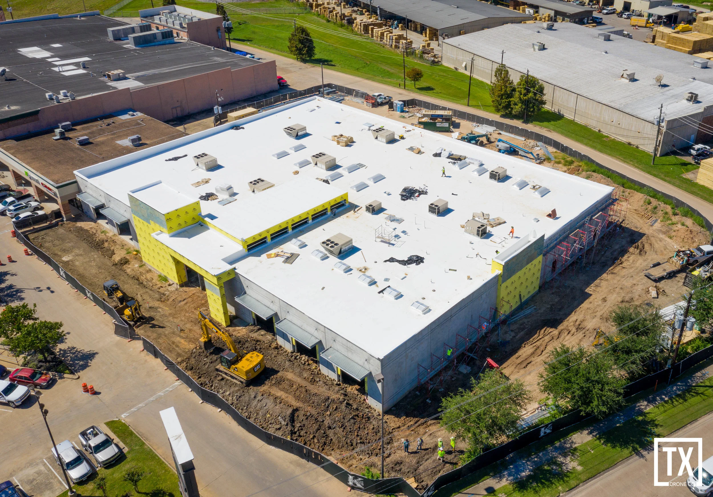
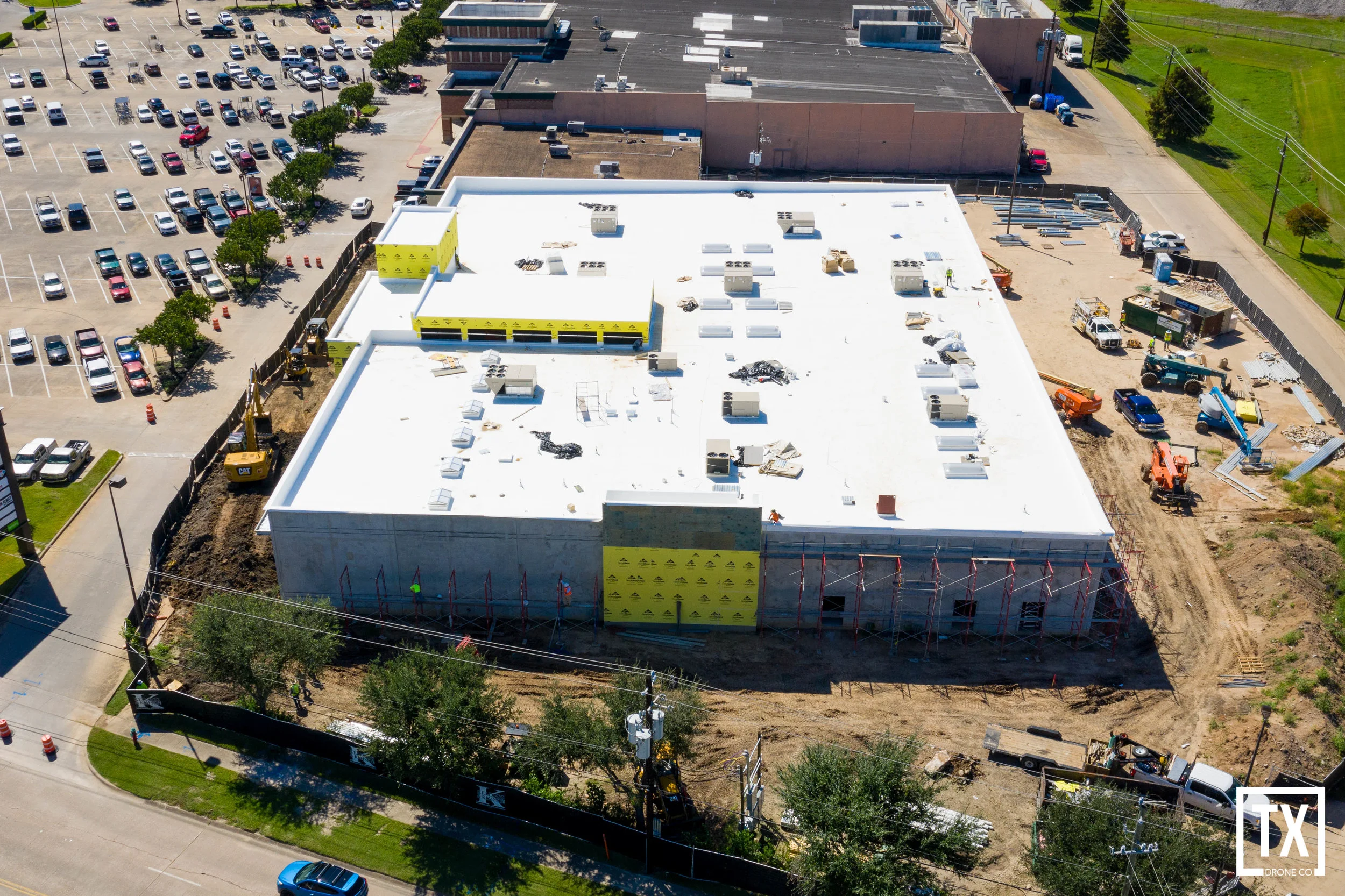
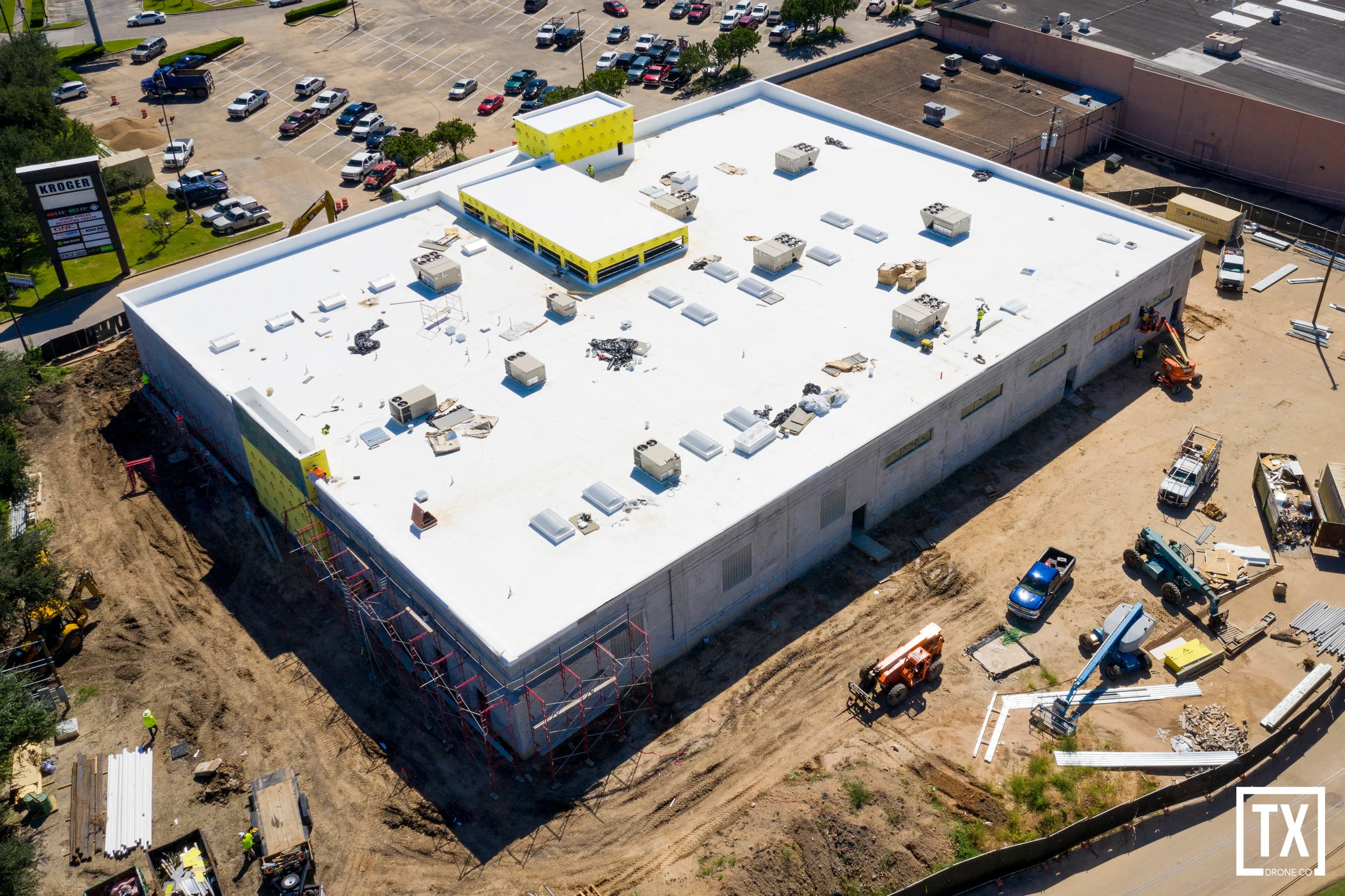
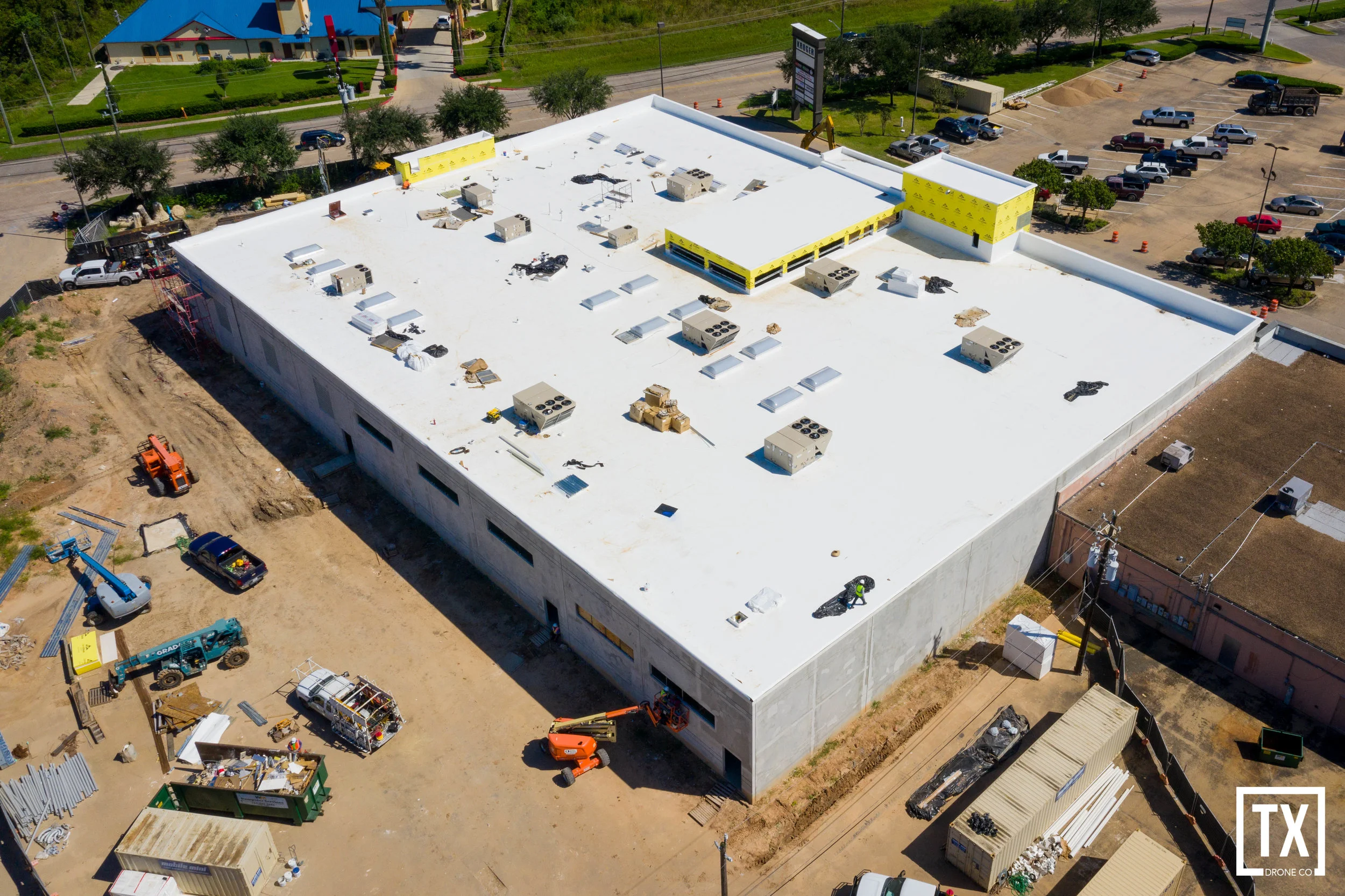
Progression Photos