Preservation Tree
Download full resolution maps.
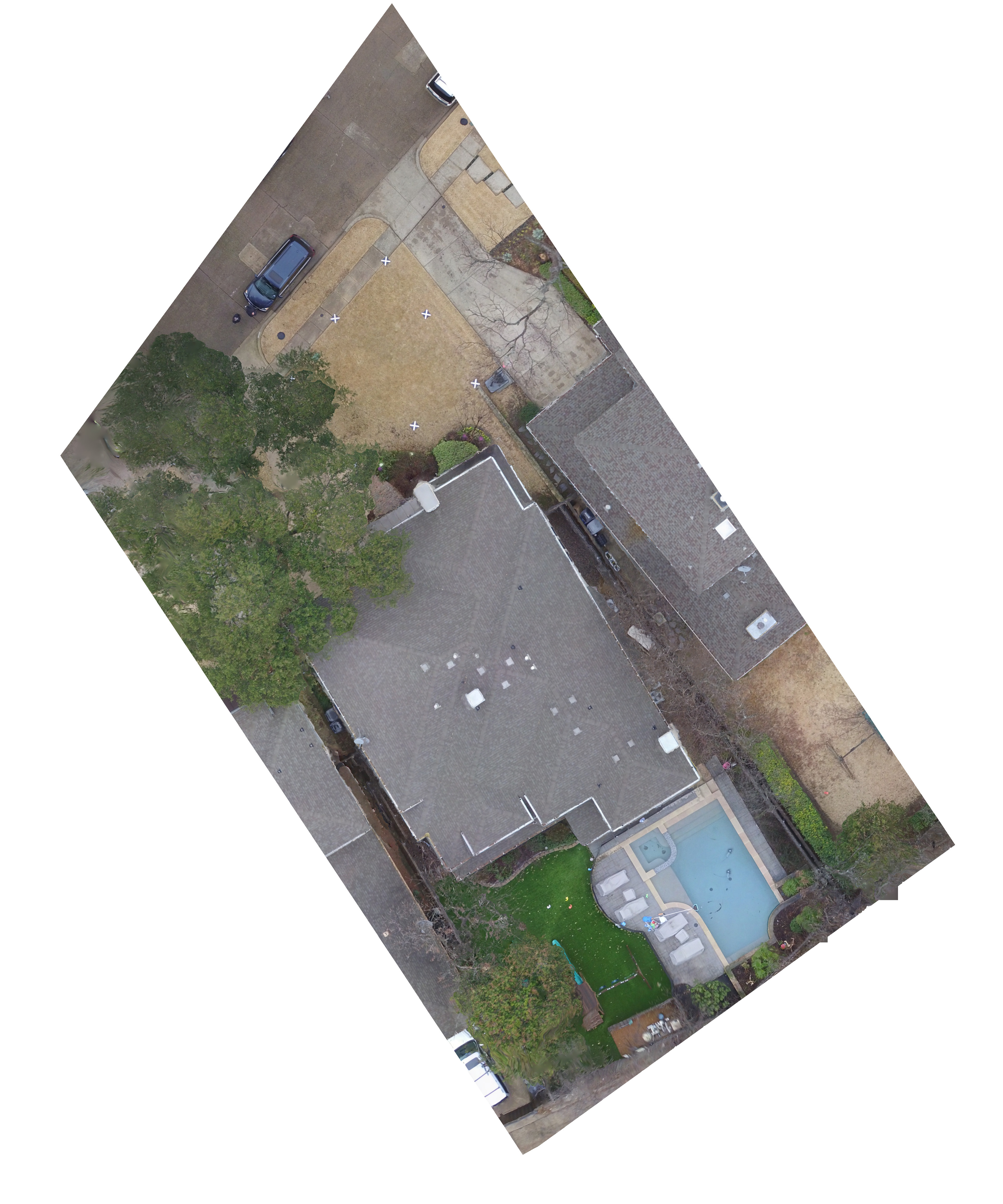
I’m not happy with this map, I think the lower altitude (100’) and tall trees attribute to the distortion. It may still be usable. (We’d be more comfortable flying at 125’ due to issues like this.)
Download full resolution maps.
I’m not happy with this map, I think the lower altitude (100’) and tall trees attribute to the distortion. It may still be usable. (We’d be more comfortable flying at 125’ due to issues like this.)
